Taylor Washington · 16 September 2026
Precision Terrain Modeling: How Subtle Gradient Shifts Shape Water Flow Dynamics in Agricultural Fields
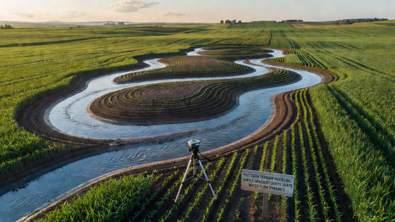
Precision terrain modeling relies on high-resolution elevation data to map minor changes in land slope across farmland, and these small gradient adjustments often determine how water moves during rainfall or irrigation events. Researchers collect point clouds through drone surveys and ground-based sensors, then process the information into digital elevation models that reveal slope differences as slight as one or two percent over distances of just a few meters.
Understanding Gradient Shifts in Field Landscapes
Subtle gradient shifts arise from natural soil settling, tillage practices, and previous erosion cycles, while modern equipment can create or correct them during land leveling operations. Data shows that even a half-percent change in slope across a 50-meter stretch redirects surface runoff enough to alter ponding locations and infiltration rates, according to measurements taken on Midwest corn and soybean plots. Observers note that fields with uniform appearance on casual inspection still contain these micro-variations that become visible once water begins to flow.
Technicians combine LiDAR returns with RTK GPS corrections to produce elevation grids at 10-centimeter horizontal spacing, and the resulting surfaces feed into hydrological models that simulate sheet flow, rill formation, and concentrated channel development. In September 2026 several regional agricultural cooperatives plan to release updated terrain datasets collected after the prior winter's freeze-thaw cycles, allowing direct comparison of gradient evolution over multiple seasons.
Water Flow Responses to Minor Slope Changes
Water tends to follow paths of steepest descent, so a barely perceptible rise or dip steers flow toward low spots where it lingers and saturates soil, or away from those spots where it accelerates and carries sediment. Studies conducted on Australian wheat fields found that a 0.8 percent gradient increase along a furrow reduced ponding duration by nearly 40 minutes during a 25-millimeter rainfall event. Those who've analyzed runoff hydrographs report that peak discharge timing shifts measurably when gradient adjustments occur within the first 100 meters of a field's upper boundary.
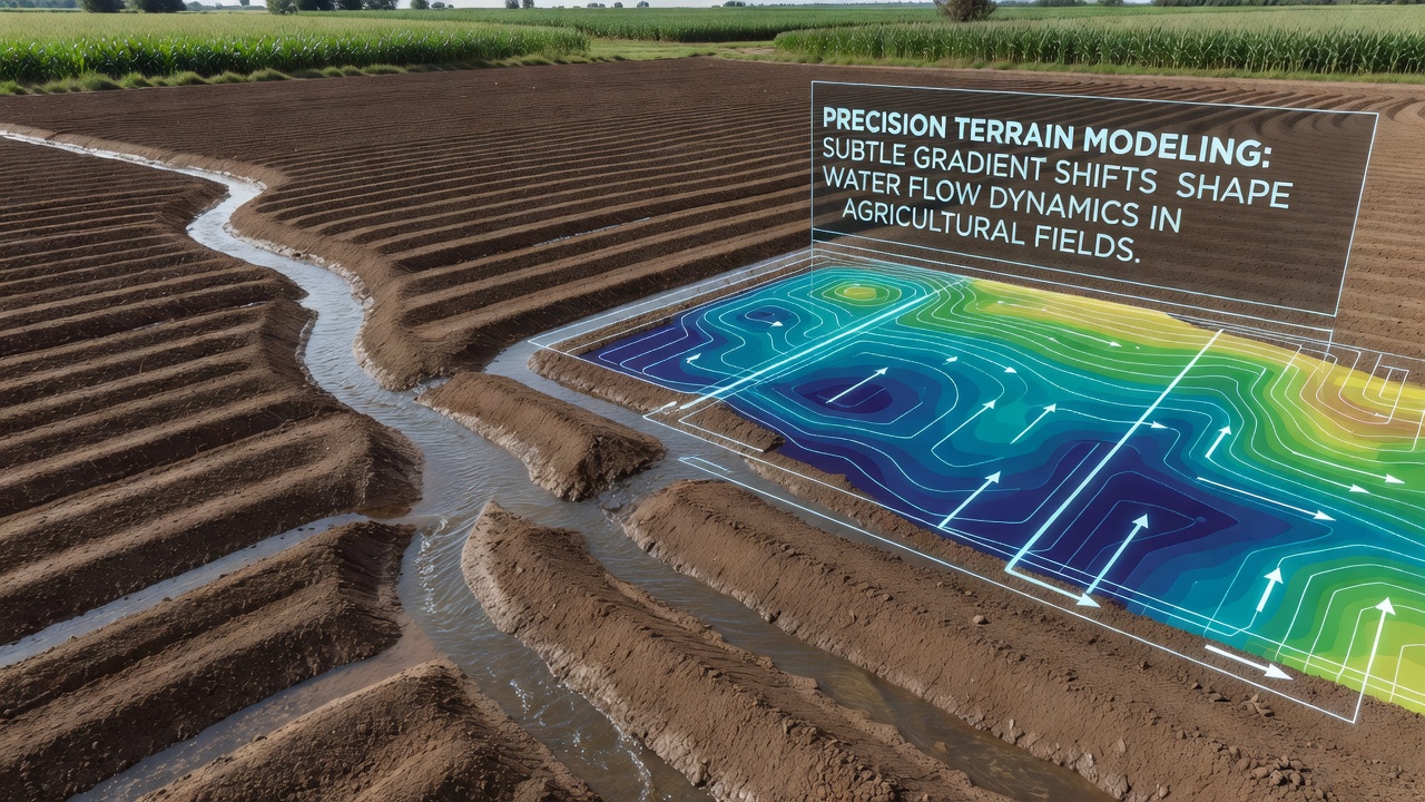
Hydraulic conductivity also interacts with these surface features because water that ponds longer has more opportunity to infiltrate, whereas faster-moving water on slightly steeper micro-slopes promotes detachment of soil particles. Canadian researchers tracked sediment loads in tile-drained systems and observed that correcting a localized 1.2 percent adverse gradient reduced annual sediment delivery by 12 percent without any change in total rainfall volume. The same datasets indicate that nutrient transport follows similar patterns, with dissolved phosphorus moving preferentially along the corrected flow paths.
Technologies and Modeling Approaches
Current workflows integrate airborne laser scanning, photogrammetry from multispectral drones, and occasional terrestrial laser scans to capture both bare-earth surfaces and crop canopy effects on water movement. Software packages solve the shallow-water equations across these meshes, incorporating roughness coefficients derived from residue cover and soil texture maps. European agricultural institutes have published validation studies comparing modeled versus measured flow velocities on plots instrumented with dye tracers and pressure transducers, confirming that gradient accuracy within 5 centimeters vertically produces reliable predictions of inundation extent.
Farmers receive output maps that flag zones where water accumulates excessively or where flow concentrates enough to initiate rilling, and they use these layers to guide targeted tillage or installation of grassed waterways. One study from Wageningen University demonstrated that variable-rate land leveling guided by such models lowered irrigation water use by 8 percent on clay-loam fields while maintaining uniform crop emergence.
Practical Applications and Observed Outcomes
Precision terrain adjustments appear in contour farming layouts, raised-bed construction, and drainage network design, where even small slope corrections improve both surface and subsurface water management. Records from the U.S. Natural Resources Conservation Service show that fields receiving terrain-based grading prescriptions experienced fewer instances of standing water after spring rains compared with fields graded by traditional methods alone. Australian trials further revealed that matching gradient specifications to local soil hydraulic properties produced measurable reductions in waterlogging stress during winter months.
Continued refinement of sensor platforms and modeling routines allows repeated surveys at lower cost, so operators can monitor how tillage, harvest traffic, and natural settling modify gradients between seasons. The resulting time-series data support adaptive management decisions that align water movement with crop water requirements and soil conservation goals.
Conclusion
Precision terrain modeling supplies the elevation detail needed to anticipate and guide water flow across agricultural landscapes, and the evidence accumulated from multiple continents demonstrates that small gradient corrections translate into measurable differences in runoff timing, erosion rates, and soil moisture distribution. Ongoing data collection through 2026 and beyond will continue to refine these relationships, giving producers additional tools to align field surfaces with both production and environmental objectives.